10 Day Self Drive tour Ring Road
Iceland’s Ring Road encircles the entire country covering over 1300 km on Route 1 or Highway 1. While you could technically drive the whole thing in less than 24 hours, the truth is it will take you at least a week with stops on along the way.
This is because you’ll be stopping a lot. Like every 5 minutes!
Renting a car for your Iceland road trip is essential. Sure, there are bus tours that drive the route, but a self-drive tour gives you a lot of flexibility. You can stop anywhere you want, for as long as you want, giving you complete freedom.
We rented a three-person Camper Van from Camp Easy and had an amazing experience. It is also much cheaper than Happy Campers. I would highly recommend Camp Easy.
The major benefit of renting a camper is that it covers your accommodation too, enabling you to pull over and sleep pretty much anywhere. No need to set up a tent or find a hotel!
Also, it was only the two of us(my husband and I) traveling, but we still rented a three-person van. Believe me, it was the best decision we made. Almost every camper we met along the road had so many space issues. Most of their vans were chaotically stuffed. The extra space saved so much of time, and it was super easy to operate inside the camper. Not to forget how comfortable it was to have all that extra space while sleeping. We met someone on one of the campsites; they described sleeping in a two-person camper as being completely mummified, with no space to move :)
Wondering ring road to do clockwise or anticlockwise, check this out
If you are hitting the ring road, it would be wise to stock up all the grocery and other stuff in Reykjavik itself. Find out more about grocery shopping here
Below is an interactive map of major attractions along ring road and daywise itinerary. Expand the Legend on the left for all details.
Here is a breakdown of my Iceland Ring Road itinerary to help you plan yours. Also to plan, optimize, and save time on your journey check out the Distances between major attractions in Iceland article.
DAY 1
1. Krýsuvík
There is a boardwalk - easy walk
Seltún and Krýsuvík hot springs are the same.
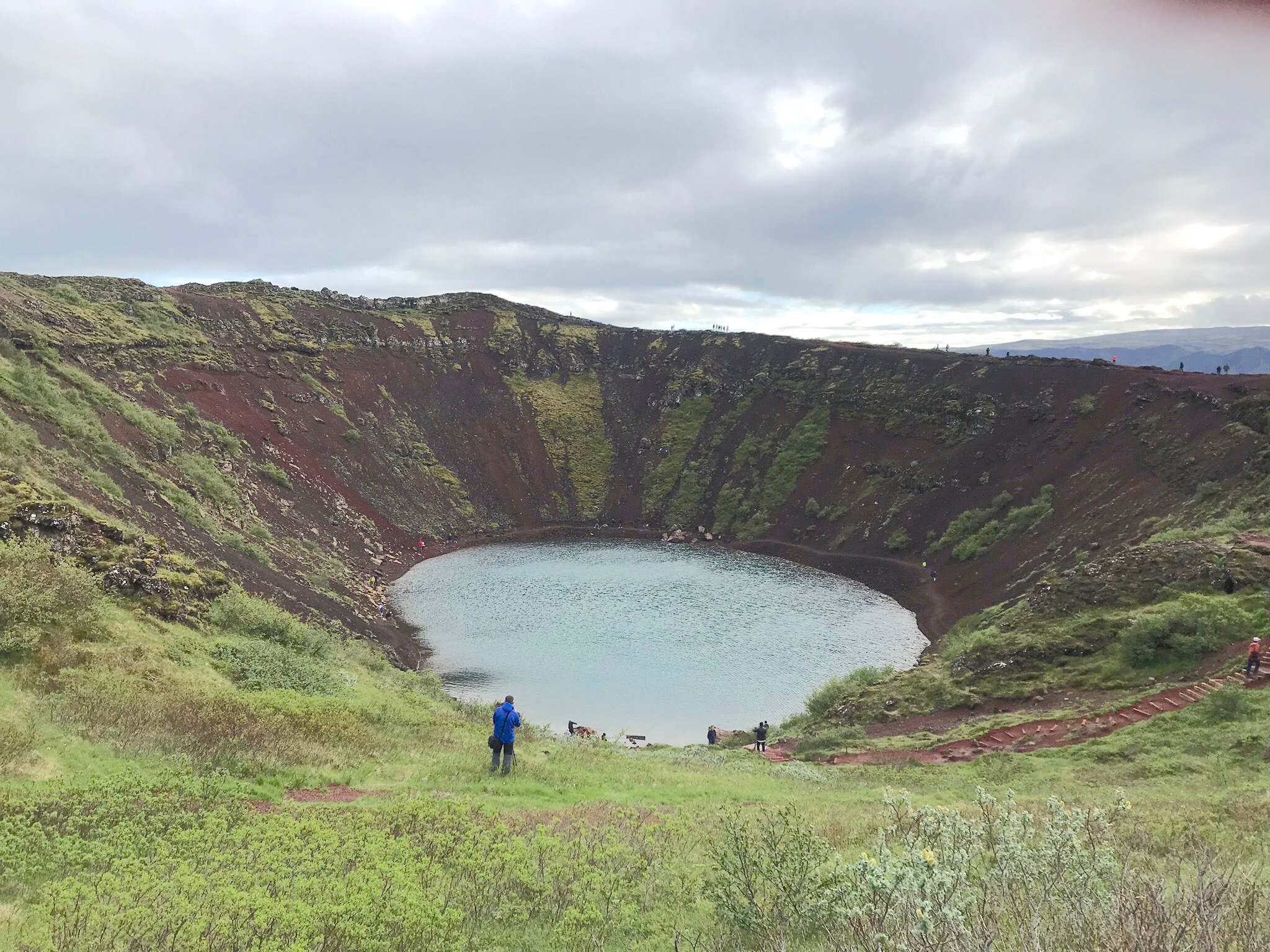
2. Kerið
Kerið is a lake in a crater.
Again easy walk uphill.
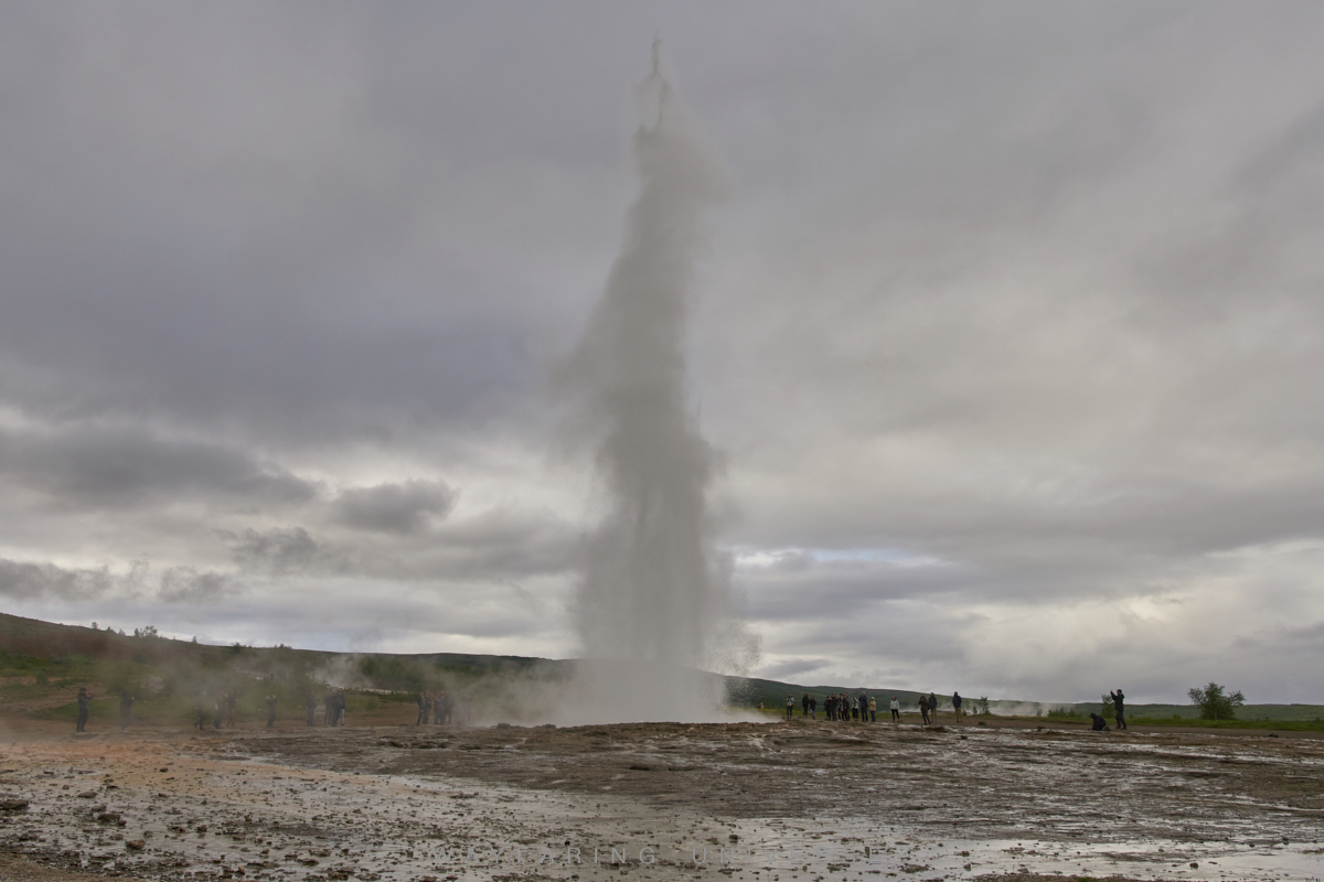
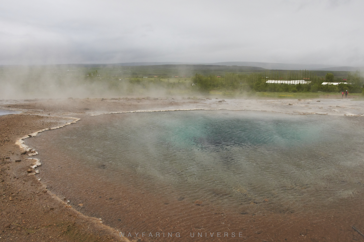
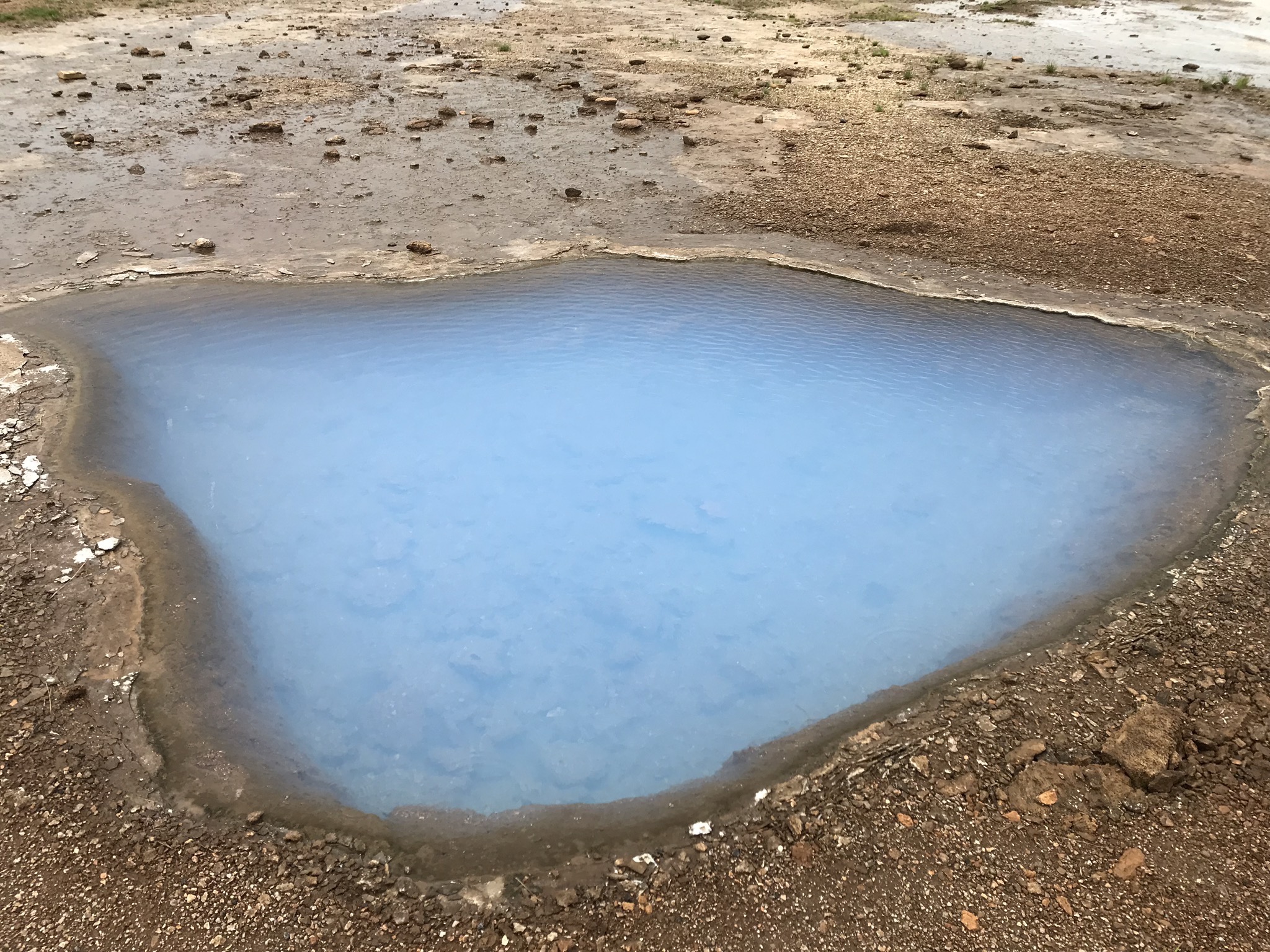
3. Geysir/Strokkur (Haukadalur region)
Geothermal area
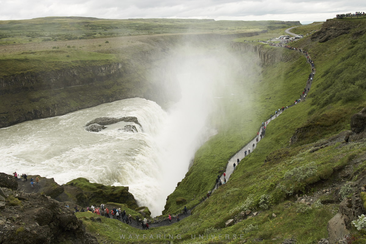
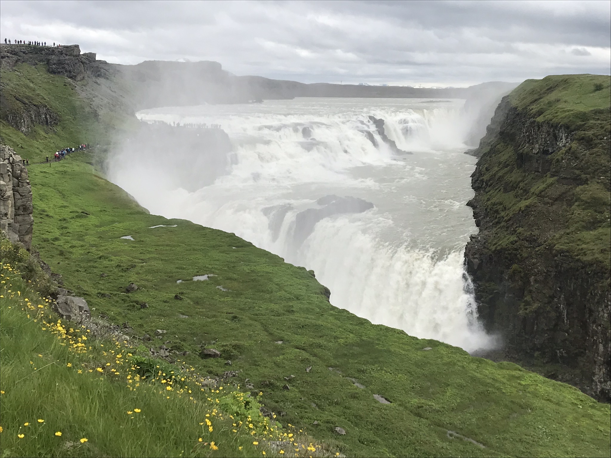
4. Gullfoss falls
There is a pathway from the parking
Easy Walk.
DAY 2
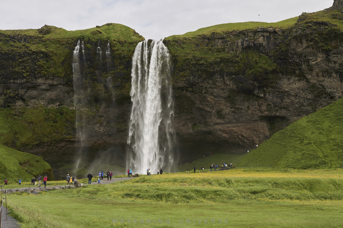
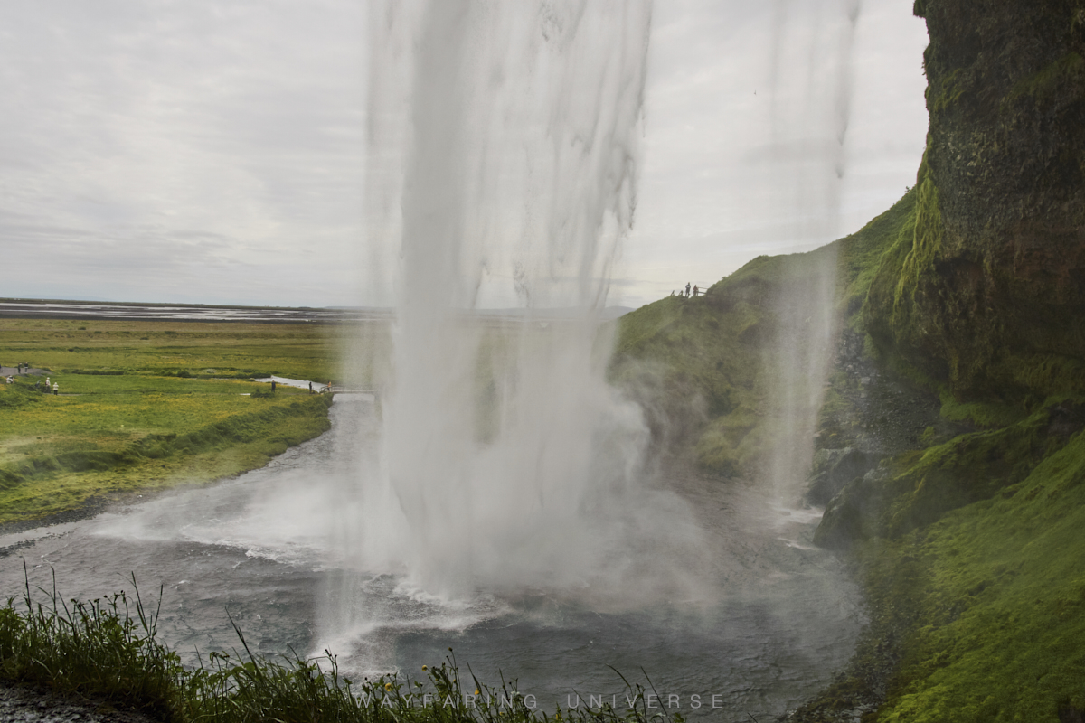
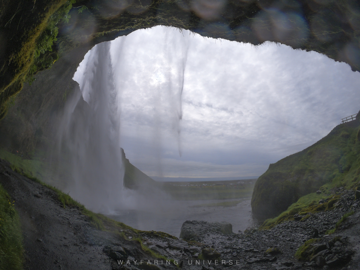
1. Seljalandsfoss waterfall and Gljufurarfoss waterfall
You might have seen many mighty waterfalls in the world, but ever imagined going behind one of them. Iceland is a magical place, and Seljalandsfoss is one of its magic. Seljalandsfoss is one of the most famous and photographed waterfalls in Western Europe.
Gljufurarfoss is just next to Seljalandsfoss; it is a canyon waterfall.
2. Sólheimasandur Plane Wreck
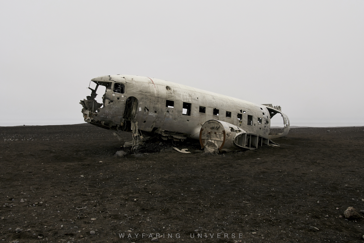
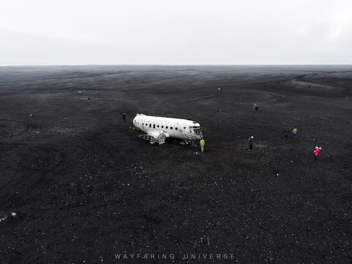
Sólheimasandur Plane Wreck is a wrecked DC-3 Plane on Sólheimasandur. It’a 4km( 8 km roundtrip) easy walk from the parking lot on Route 1.
Park at Sólheimasandur Parking (Type Sólheimasandur Plane Wreck on google maps for walking navigation)
3. Skógafoss
There are two viewpoints for Skogafoss. One is just from parking to the base of the waterfall. The other is 1/2 km uphill from the parking lot.
There are two viewpoints for Skogafoss. One is just from parking to the base of the waterfall. The other is 1/2 km uphill from the parking lot.
It is also the trailhead for Fimmvörðuháls hike (also referred to as the Fimm hike). The highlight of this hike is able to walk through a wide variety of panoramas within a day: beginning at the ocean, going up past 26 waterfalls to lush tundra, then across a volcanic plain home to some of the world’s most recent volcanic activity.
Spend Night at Skogar Campsite
DAY 3
1. Dyrhólaey
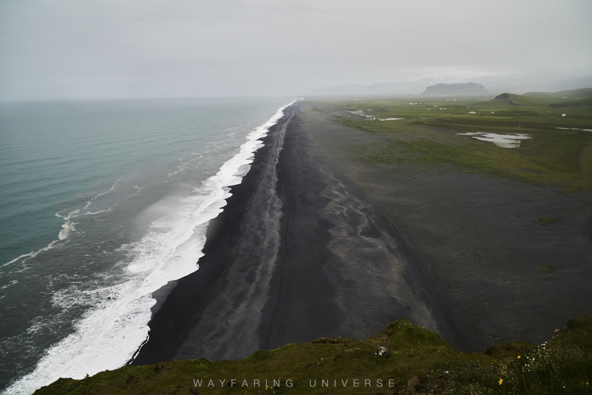
Dyrhólaey translates to Door Hill; it is a massive rock arch.
From the top of Dyrhólaey there is a great view.
2. Kirkjufjara Beach
Kirkjufjara is a dangerous beach which shares the same coastline with Reynisfjara.
Don’t not enter the Kirkjufjara beach when tide is high.
You can always check the tide prediction before heading.
Here is a link to check tide prediction for Vik coastline.
Kirkjufjara viewpoint restrooms 200ISK
Please read the Reynisfjara beach section for safety
Also, check if it is open before heading (it has been closed several times after some unfortunate events)
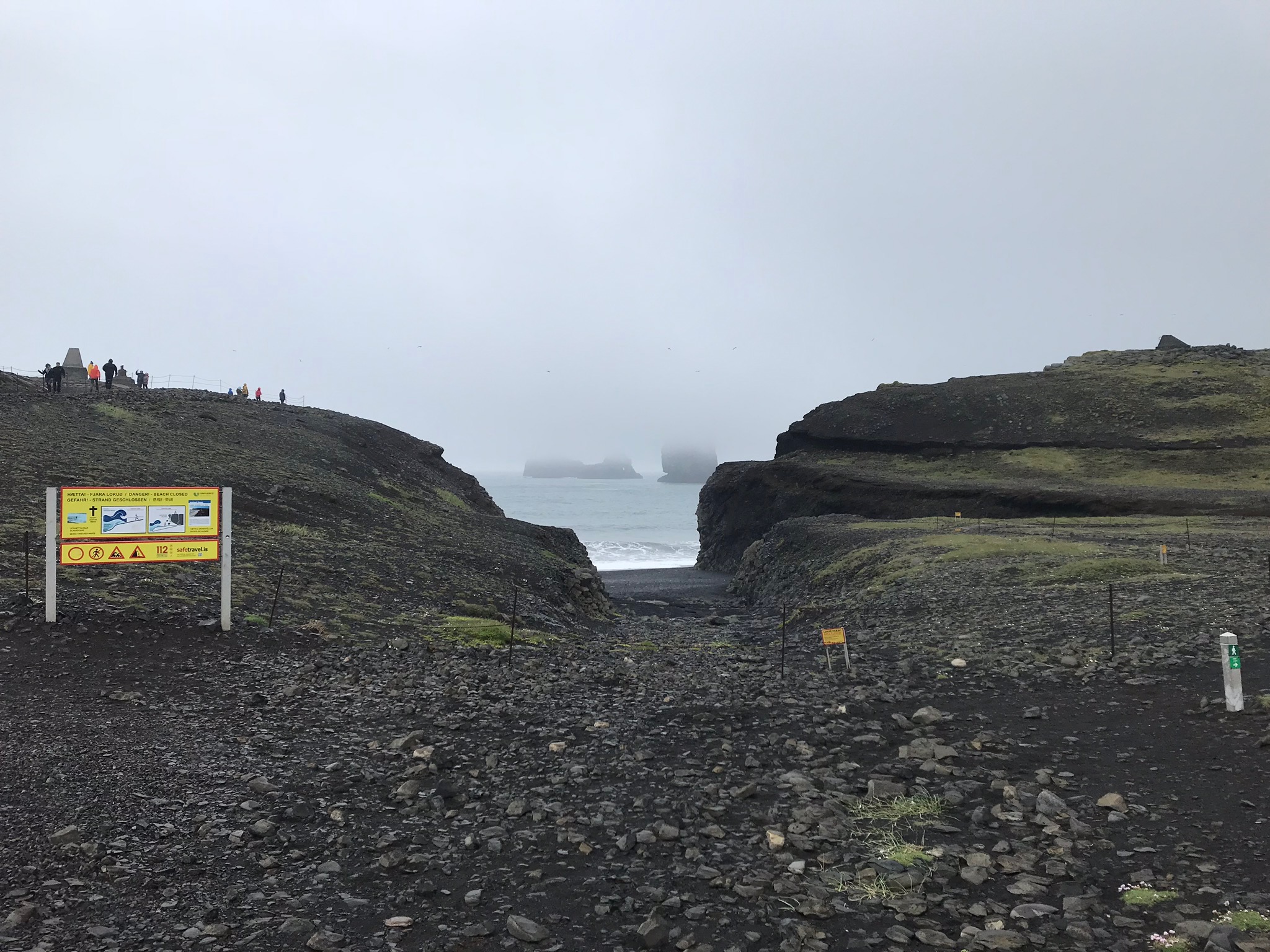
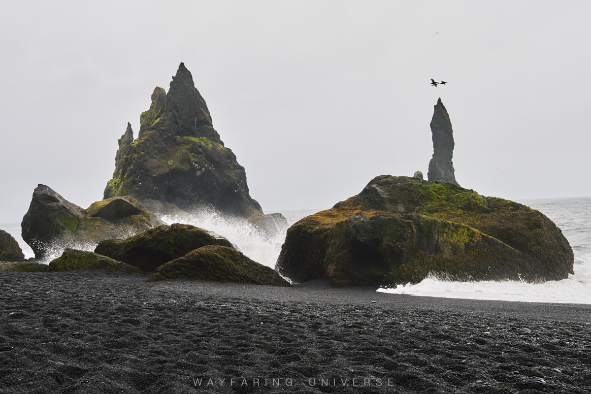
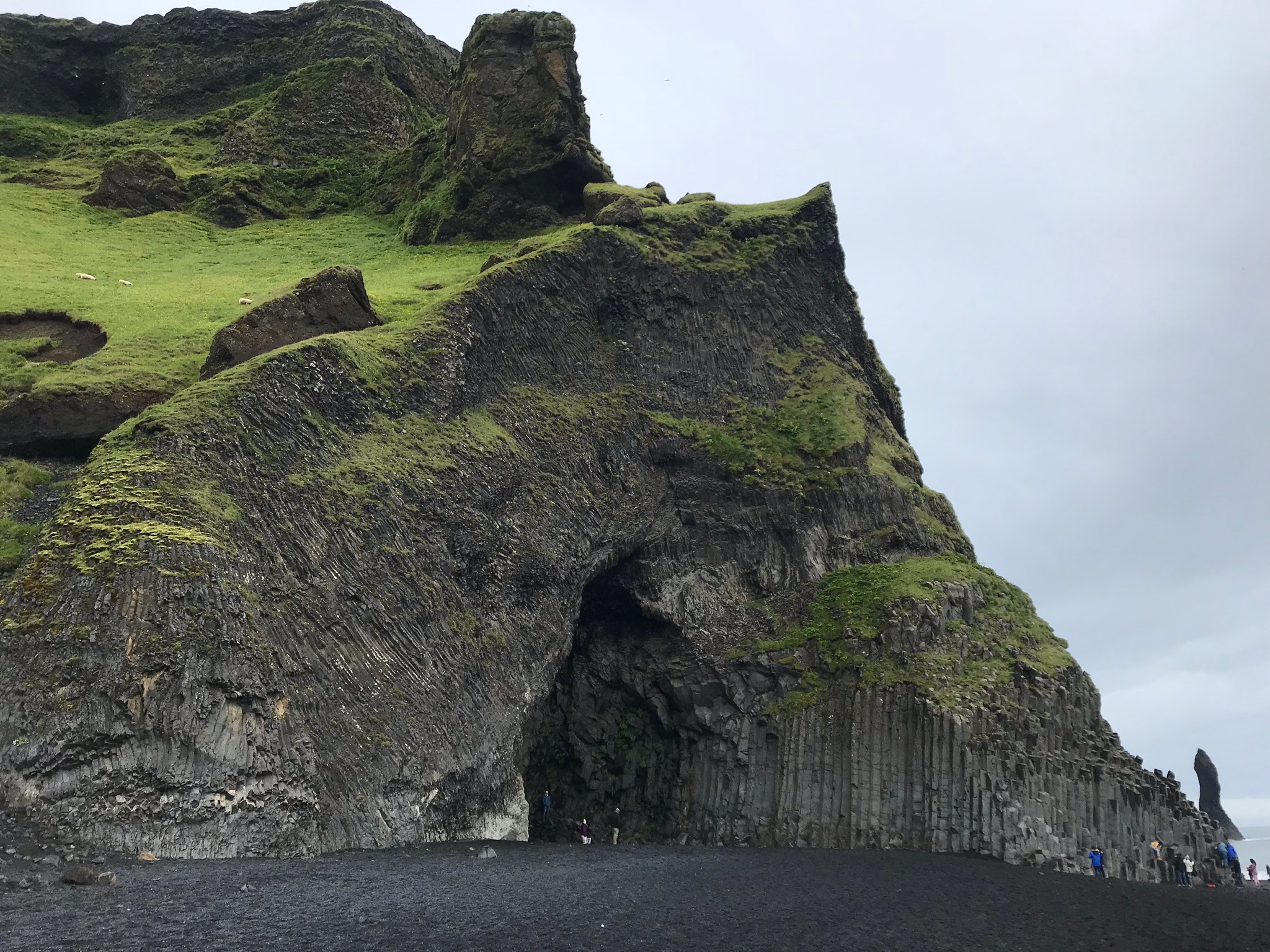
3. Reynisfjara beach / Reynisdrangar
This is a deadly beach, where several travelers have lost their life due to the hazardous waves that sneak up on people without any notice. Be well aware of the potential dangers present at the beach.
The waves of Reynisfjara & Kirkjufjara are known as sneaker waves. They are particularly violent, often pushing far further up the beach than many would expect. People are advised to never turn their back on the waves, and keep a safe distance of 20-30 meters.
The waves of Reynisfjara & Kirkjufjara are known as sneaker waves. They are particularly violent, often pushing far further up the beach than many would expect. People are advised to never turn their back on the waves , and keep a safe distance of 20-30 meters.
PLEASE stay safe, even if the waves seem considerably far away they can dash you away in a second so maintain a safe distance.
There is a restaurant on the beach. Toilets available.
4. Vik
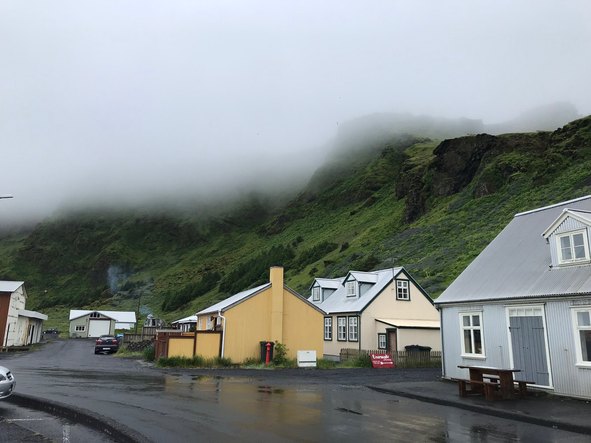
Vik is a charming small town in southern Iceland. Stop by for a hot cup of coffee. Also, a good place to stock up/replenish items you are running low on. It has adequate facilities (Gas Station, Supermarkets, etc)
See Vik Church
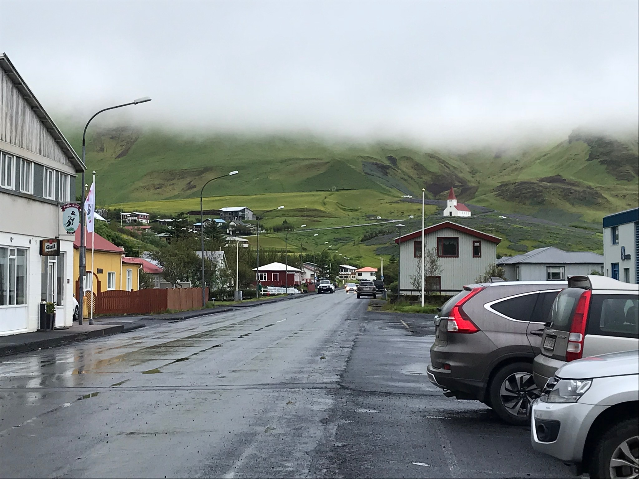
Spend Night at Þakgil campsite Thakgil
(type Thakgil on google maps, Not to be confused with the one at Vik, in fact it is 40 minutes awaya from Vik)
DAY 4
1. Scenic Green Lava Walk
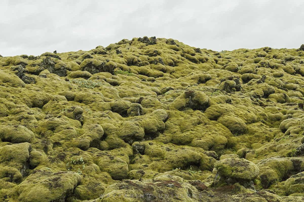
2. Fjaðrárgljúfur
3. Skaftárhreppur
4. Systrafoss
5. Kirkjubæjarklaustur
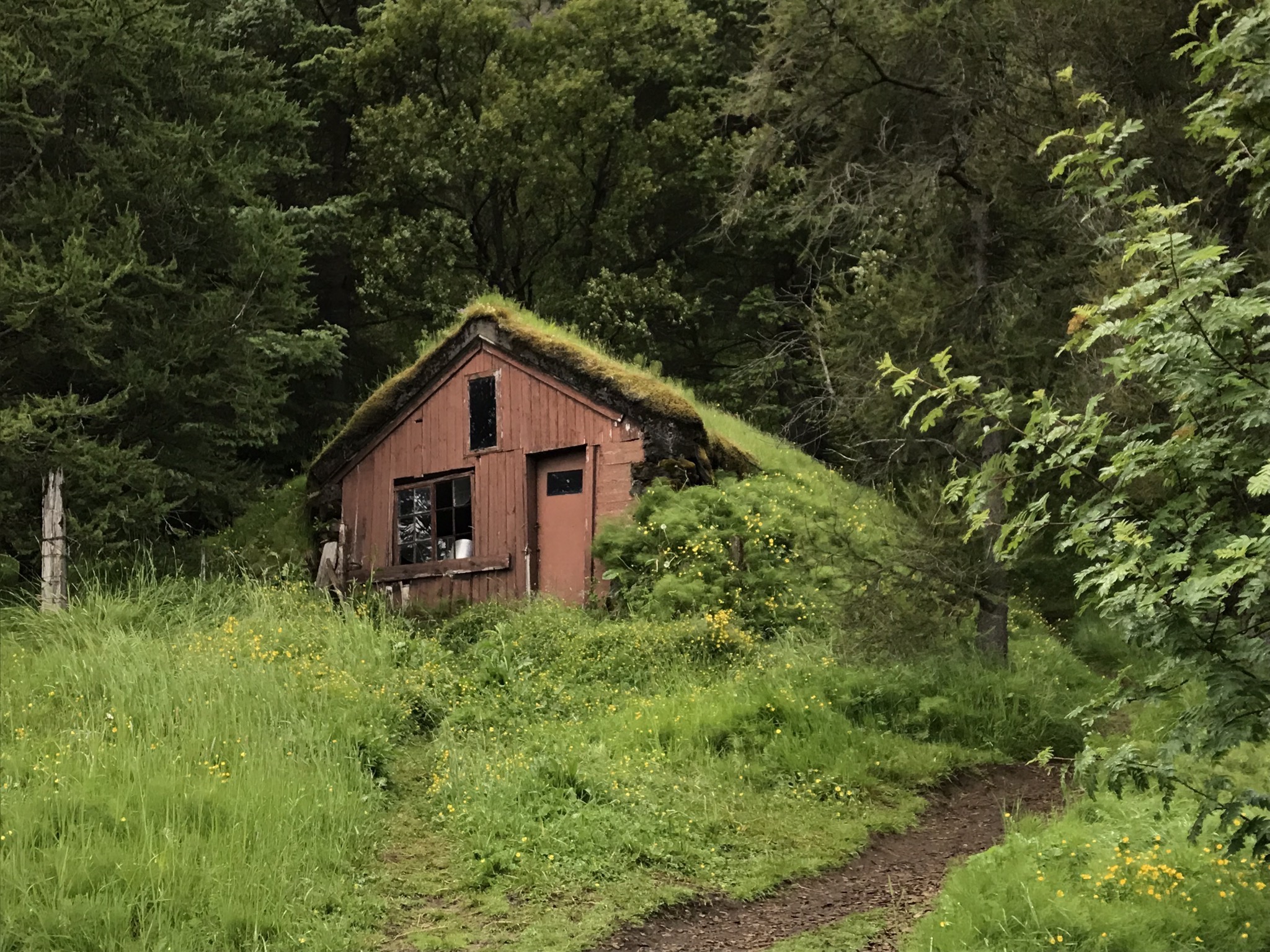
6. Foss a Sidu
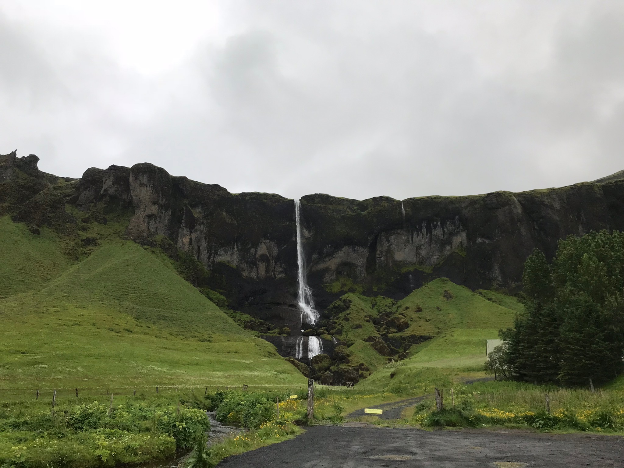
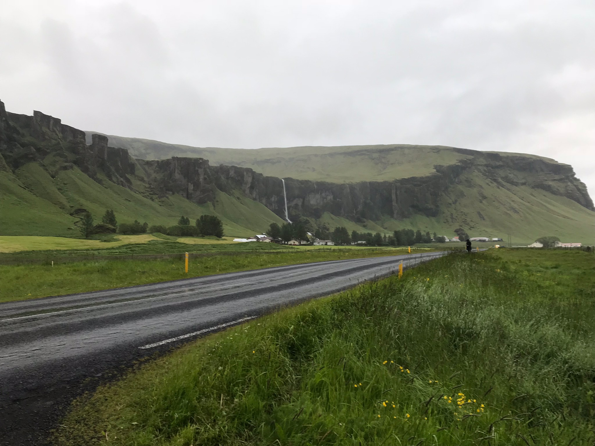
7. Svartifoss(skaftafell) waterfall hike
Svartifoss waterfall hike via Lambhagi and Kvarnakofalág is a 4 km heavily trafficked loop trail located in Southern Iceland. Svartifoss is famous for its basalt columns.
Spend Night at Svinafell Campground
DAY 5
1. Fjallsárlón
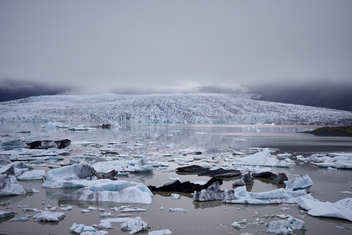
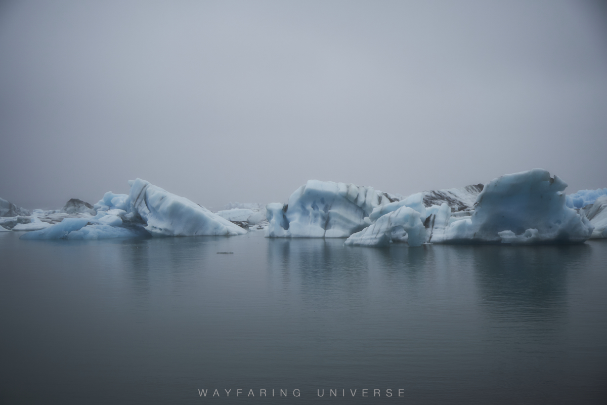
2. Jökulsárlón
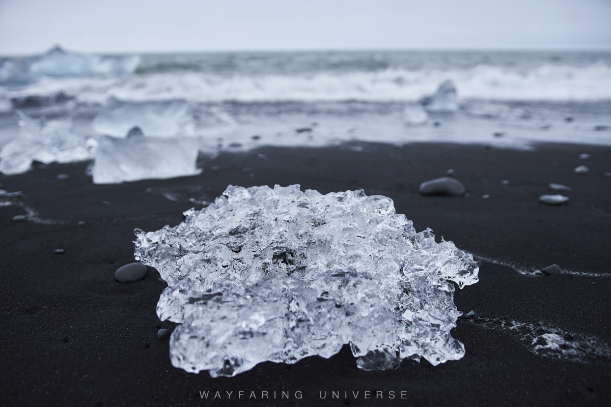
Take pictures of pieces of ice below the route 1 bridge
Boat tour to the glacier - Zodiac Tours
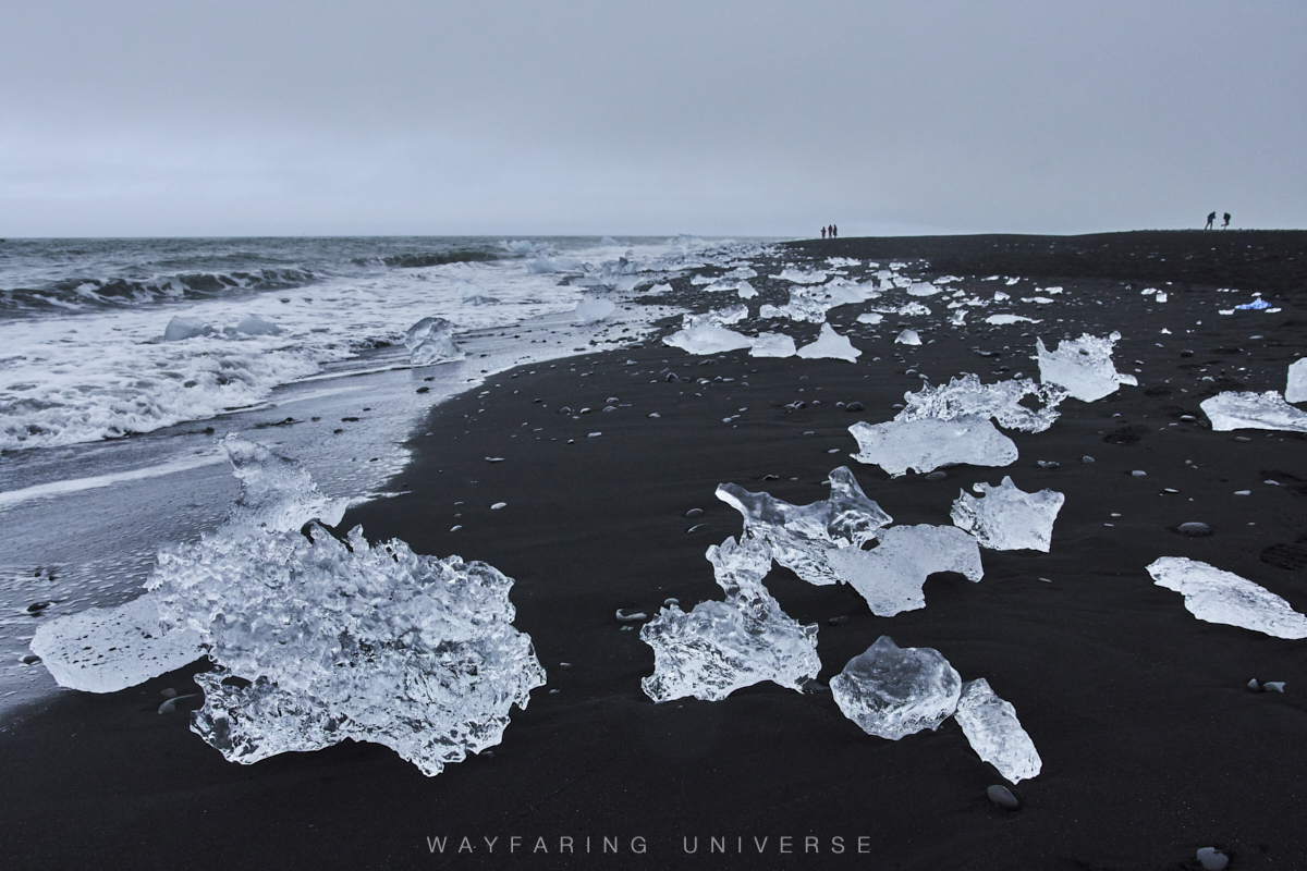
3. Diamond beach
Coordinates for Diamond Beach: 64.044512, -16.177440
DAY 6
1. Vestahorn
Vestahorn is best viewed from Stokksnes(coordinates 64°14’41.6”N 14°58’10.8”W) Indeed very photogenic!!
2. Folaldafoss
3. Gufu Waterfall
4. Seydisfjordur
Small beautiful town, definitely a must stop along ring road.
Spend Night at Fjalladyrd Möðrudalur campground
DAY 7
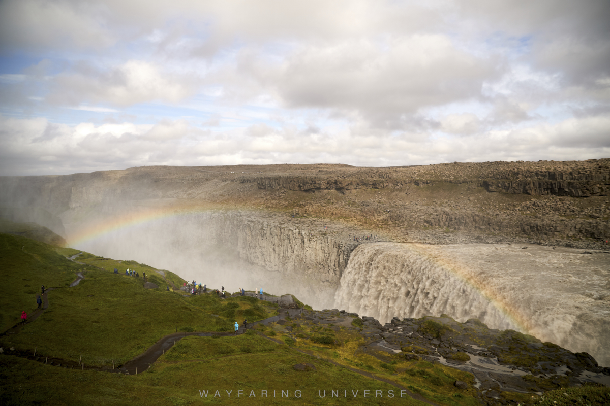
1. Dettifoss waterfall
Dettifoss is reachable by two separate roads, by Route 864 on the East and Route 862 on the west, depending on which side of the falls you want to be on. If you’re going to get to the east side, the road (Route 864) is not that great, its a gravel road. While the other “west side” is considerably better. The distance between the two sides is quite a bit, so choose accordingly. (66 KM between the two parking areas ) There is a stark difference between the two sides; the east side is all rocky while the west is lush green due to the mist falling from the waterfall on the west side. Also, you can walk right up to the base of the falls( very close, I mean you can just stand next to the waterfall, not to mention it is also very dangerous), while on the other side which is also close to the falls you get a more grandeur view of the falls and often beautiful rainbows.
2. Selfoss waterfall
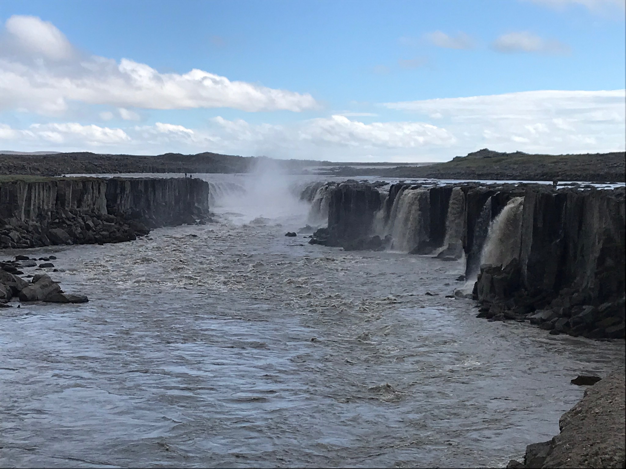
Selfoss and Dettifoss are just adjacent, 7 mins apart, easy walk.
3. Viti Crater
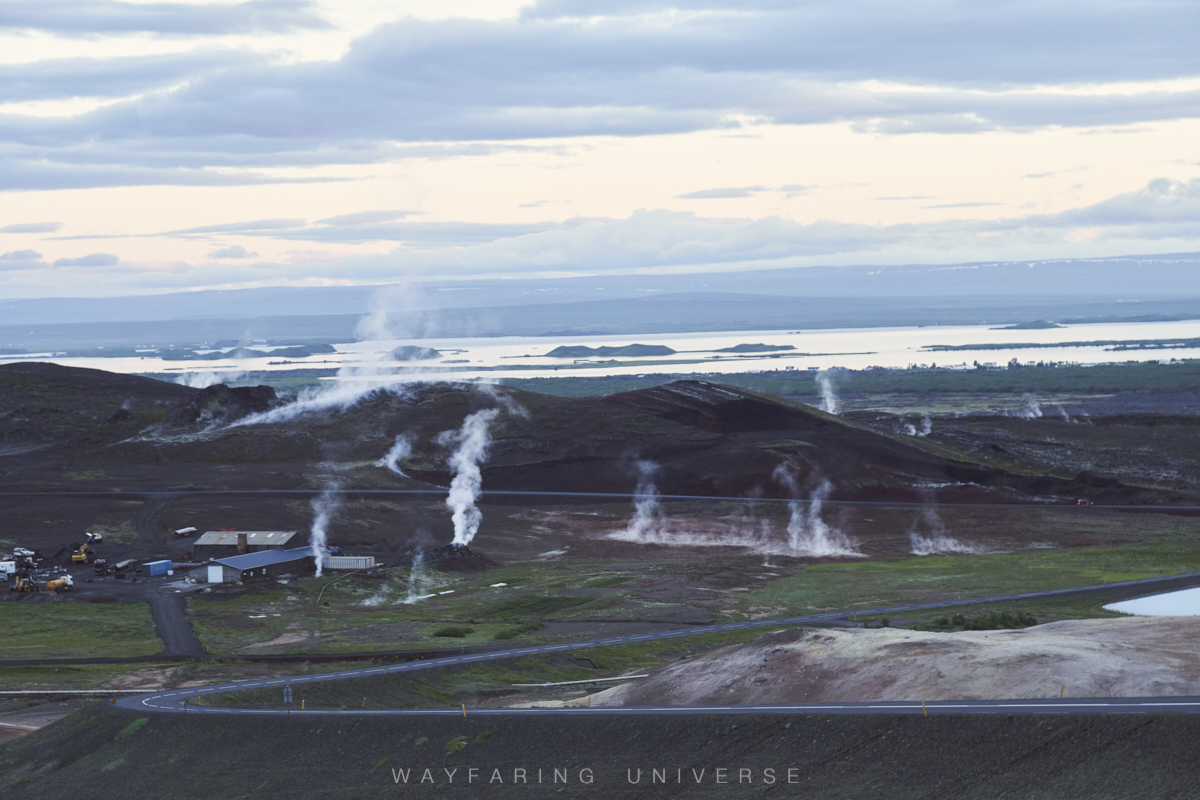
Krafla Lava Fields or krafla / Leirhnjukur
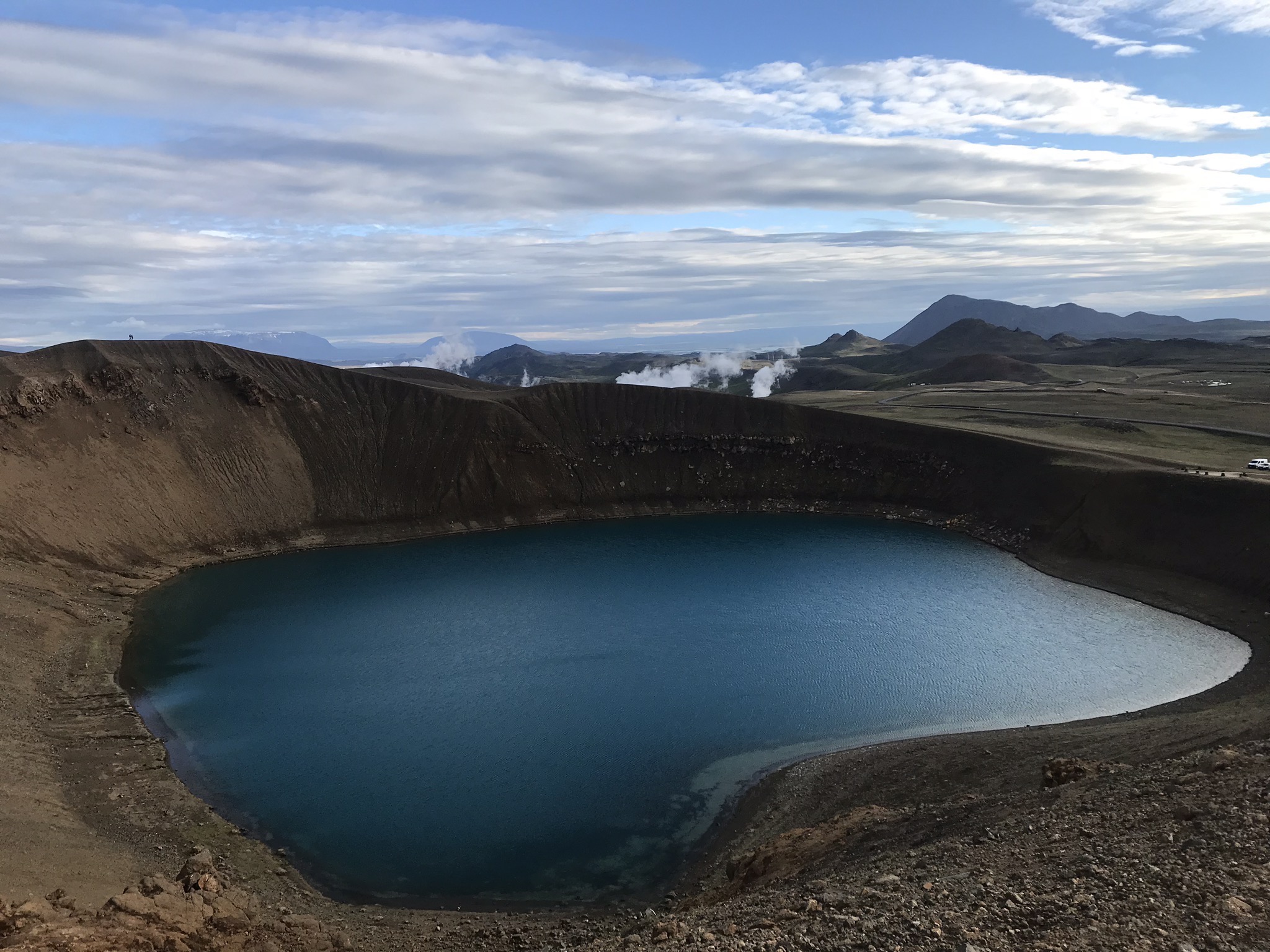
Stora viti crater - easy uphill hike
4. Leirhnjukur
The hike around the Stóra-Víti crater and the geothermal area east of it takes about 50 minutes.
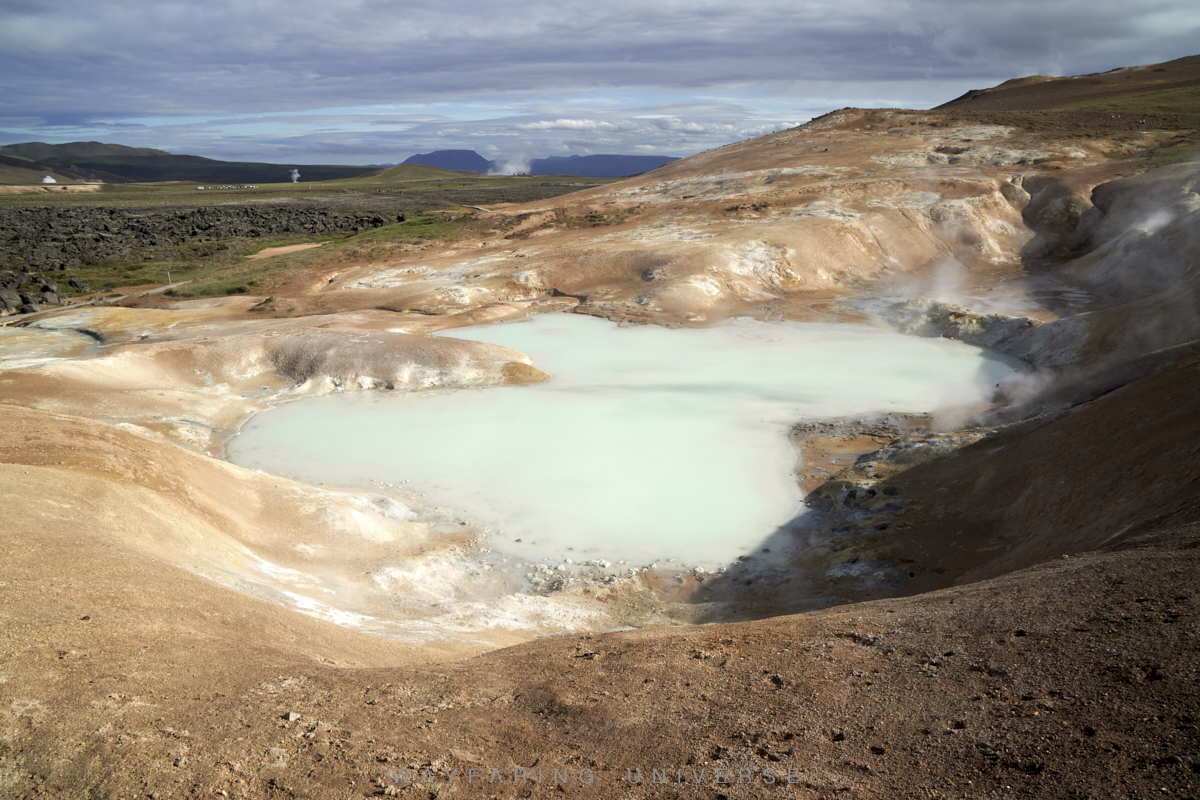
5. Namafjall, Hverarond (mud pots)
Do not get confused Hverir, Namafjall and Hverarond are the same
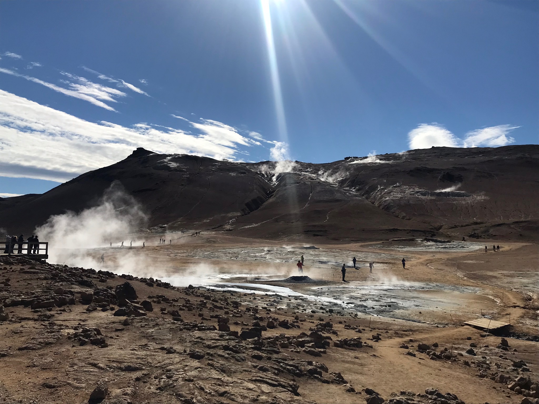
6. Blue lake
No detour required, it is on Route 1
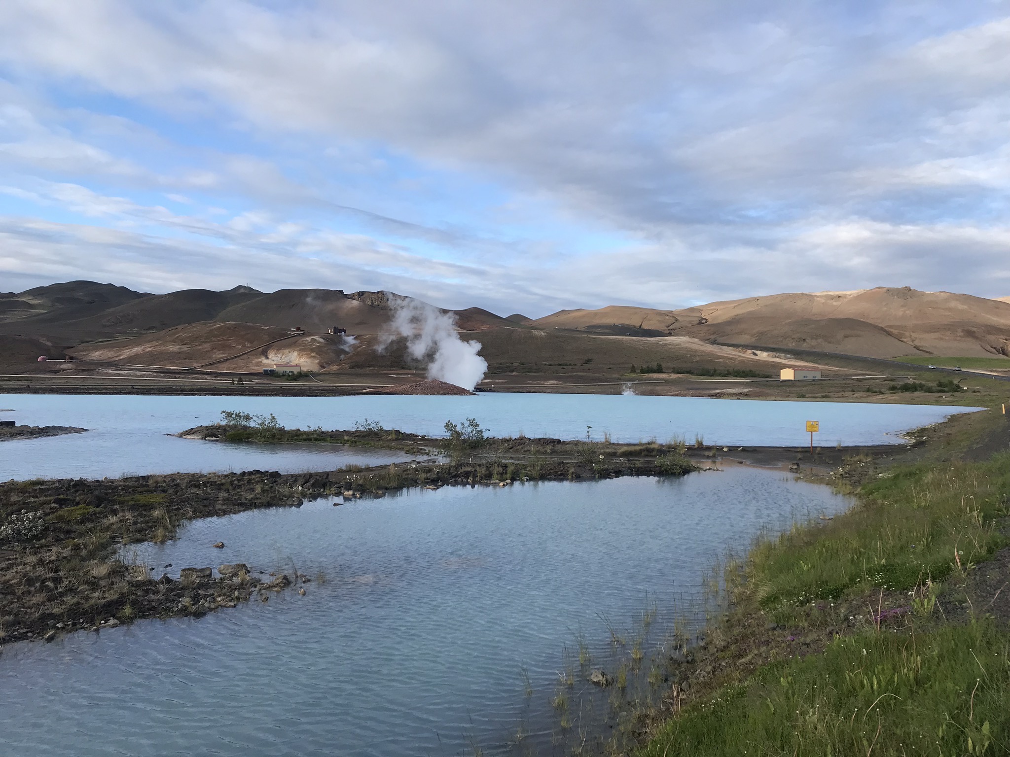
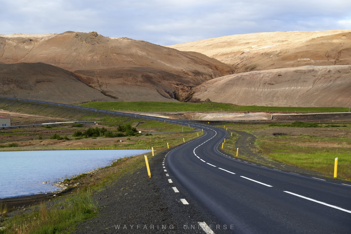
7. Mývatn
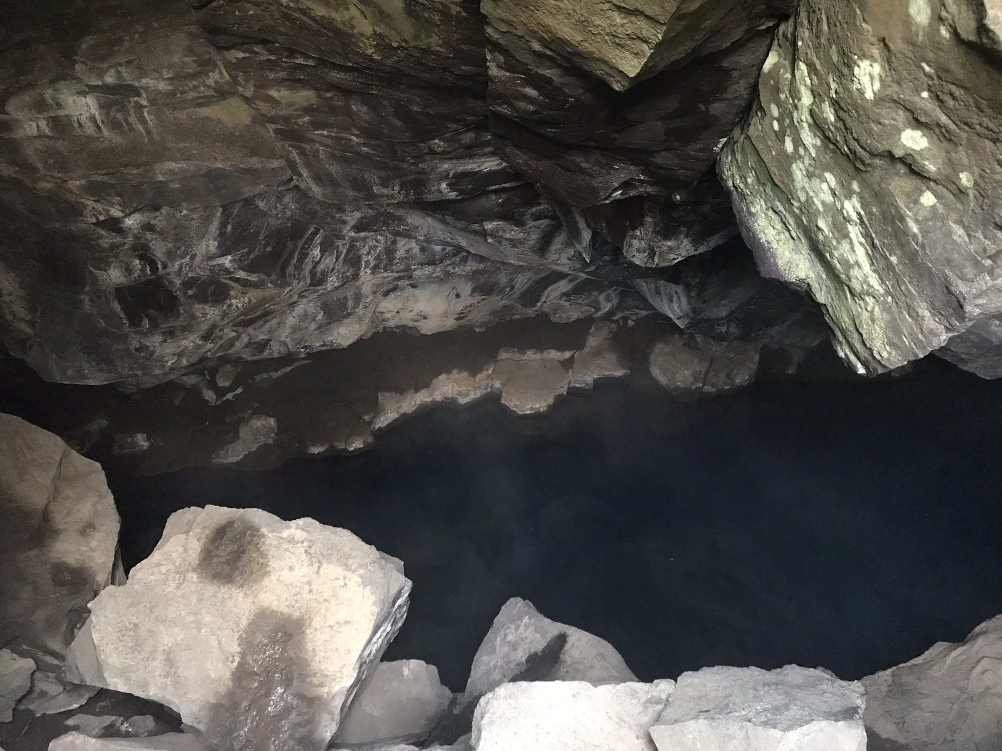
8. Grjótagjá cave
You can totally skip this one, not worth visiting.
9. Hverfjall
Spend Night at Fosshóll Guesthouse Campground
DAY 8
1. Godafoss Waterfall
2. Akureyri
3. Grundarfjörður
Spend Night at Grundarfjordur Campground
DAY 9
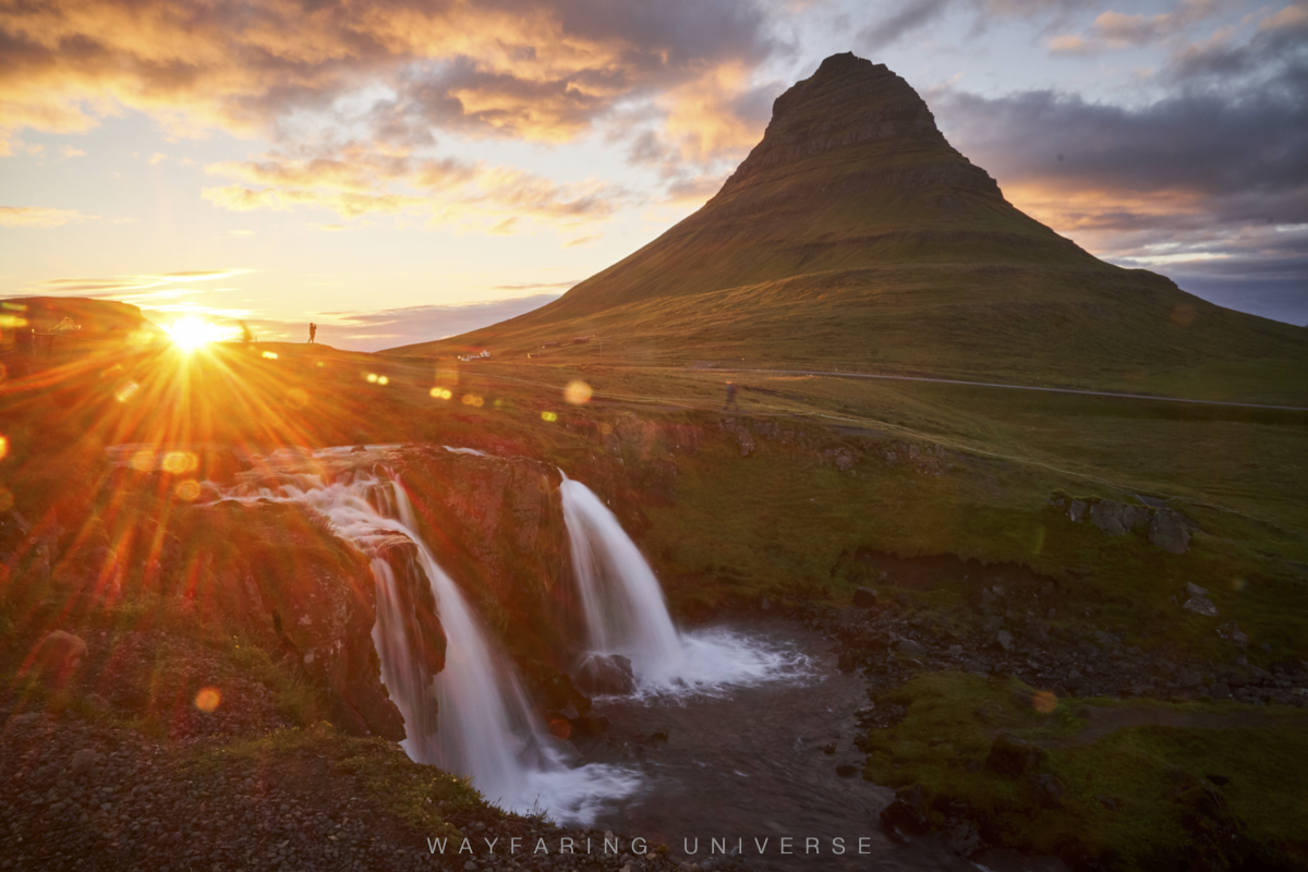
1. Kirkjufellsfoss
2. Giant Padlock
3. Thingvellir National Park
Spend Night in Reykjavik
DAY 10
1. Reykjavík
Explore the City on Foot
Hallgrimskirkja - must